Kailua-Kona & Keauhou
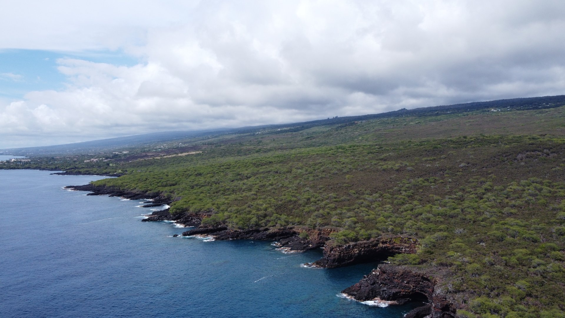
Kailua-Kona — or just "Kona" — is what most people picture when they imagine moving to Hawaiʻi. Sun almost every day, world-class snorkeling and diving, Aliʻi Drive running along the waterfront, and the greatest concentration of restaurants, shops, and services on the island. It is the most accessible and most recognizable place to live on the Big Island.
Kailua-Kona proper is a small town of around 22,000 people. It has everything you need day-to-day: KTA and Safeway grocery stores, Home Depot, medical facilities, a farmers market, and direct flights to the mainland via Kona International Airport (KOA). What it does not have is the density or anonymity of a mainland city — for many people, that's exactly the point.
Keauhou
Just south of Kailua-Kona, Keauhou is a quieter, more residential neighborhood with its own shopping center, boat harbor, and beach access. It attracts families and retirees who want to be close to Kona's amenities without being in the middle of the tourist corridor. Property prices are slightly lower than prime Kailua-Kona real estate, and the community feel is noticeably calmer.
The Honest Trade-Off
Kona's climate is exceptional — 10–20 inches of rainfall per year, trade winds that keep temperatures comfortable, and approximately 300 sunny days annually. But it's also the most expensive area on the island for both buying and renting. It can feel touristy during peak season. And getting anywhere on the north or east side of the island requires a 45-minute to 2-hour drive. If your work or family ties are on the Hilo side, living in Kona is not practical.
Holualoa, Captain Cook & South Kona
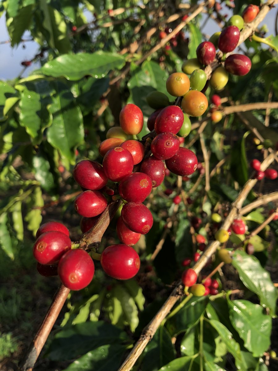
South Kona is the coffee country corridor that runs from Holualoa south through Kealakekua, Captain Cook, and Hōnaunau. At elevations of 1,500–3,000 feet, the climate here is cooler than the Kona coast — afternoons bring clouds and occasional rain, which is exactly what Kona coffee trees need to produce their famous beans.
Holualoa is an artisan village perched above Kona town. It's known for its galleries, small farms, a laid-back community vibe, and some of the most beautiful coffee farm real estate on the island. Captain Cook and Kealakekua — just south — are more practical: affordable by Kona standards, close to the Kona coast (20–30 min), and home to a mix of local families and transplants seeking the farm lifestyle without full isolation.
Kealakekua Bay
South Kona is also home to Kealakekua Bay — one of the most pristine marine reserves in Hawaiʻi, known for excellent snorkeling and the Captain Cook monument. Living near the bay means access to a world-class natural resource almost no tourists know about. This is where locals swim.
The Honest Trade-Off
South Kona roads are narrow and winding — the Belt Road is not a freeway. Properties here often have steep driveways and require confidence with a car. Rain and morning fog are common at higher elevations. But the combination of mild climate, lush landscape, agricultural community, and reasonable prices (relative to the coast) makes South Kona one of the most appealing places to live on the island for the right buyer.
Waimea / Kamuela
Waimea — also called Kamuela, the postal name — sits at 2,500 feet elevation on the saddle between Mauna Kea and the Kohala Mountains. It has the best public schools on the island, a genuine downtown with excellent restaurants (Merriman's, Pueo's Osteria), a farmers market, and a strong community grounded in paniolo (Hawaiian cowboy) culture.
The climate surprises most first-time visitors. Waimea is cool — sometimes cold by Hawaiʻi standards, with temperatures regularly dipping into the 50s at night and morning fog that burns off by midday. Rainfall varies dramatically: the east side of town (toward Hilo) gets significantly more rain than the drier west. Know which side of town a property is on before making assumptions about the microclimate.
The Parker Ranch Legacy
Waimea exists in the shadow of Parker Ranch — one of the largest cattle ranches in the United States, founded in 1847 by John Palmer Parker and spanning roughly 130,000 acres. The ranch has shaped the town's economy, culture, and landscape for over 175 years. Properties adjacent to or within view of Parker Ranch land carry significant scenic value.
Who Lives Here
Waimea attracts a diverse mix: astronomers and scientists from the Mauna Kea observatories, ranching families with deep roots, professionals commuting to Kona or Hilo (each about 45 minutes away), and an active community of agricultural entrepreneurs. It is the Big Island's best example of a functional, full-service small town that happens to have extraordinary scenery.
Kohala Coast & North Kohala
The Kohala region splits into two very different worlds. South Kohala's coast is home to the island's major resort corridor — Mauna Kea Beach Hotel, Hapuna Beach Resort, Waikoloa Beach Resort — and the luxury residential communities that surround them. This is the most expensive real estate on the island, with ocean-view condo complexes, golf course communities, and beachfront homes commanding premium prices.
Inland and north, North Kohala is an entirely different experience. Small towns like Hāwī and Kapaʻau retain genuine Hawaiian character — a few restaurants, a farmers market, art galleries, and a quiet pace of life that has resisted the resort development that transformed the coast. Properties here are significantly more affordable than the resort corridor, and the views — over the ocean and across the Kohala Mountain — are spectacular.
Geologically Special
Kohala Mountain is the oldest of the Big Island's five volcanoes — dormant for over 60,000 years. This means Kohala land carries Lava Zone 9: the lowest possible volcanic risk, the easiest to insure, and the easiest to finance. For buyers who want the Big Island lifestyle without volcanic risk, Kohala is the answer.
The Honest Trade-Off
North Kohala is genuinely remote — Waimea is 20 minutes away, Kona is 45–50 minutes, and Hilo is 90 minutes. The resort coast is more accessible but far more expensive. Internet and cell coverage can be spotty in rural North Kohala properties. And the dramatic variation in microclimate — from the parched coast to the lush uplands — means you need to know exactly where a property sits before making assumptions about its character.
Hāmākua Coast
The Hāmākua Coast runs 50 miles along the island's windward northeast shore, from Waipiʻo Valley south toward Hilo. This is some of the most visually stunning terrain in all of Hawaiʻi — deep stream valleys, thousand-foot sea cliffs, waterfalls, and lush agricultural land with rich red volcanic soil that once supported the island's massive sugar industry.
The towns here — Honokaʻa, Paʻauilo, Laupāhoehoe, Hakalau — are small, real, and deeply local. They're not tourist destinations. They're working communities with their own culture, their own farmers markets, and their own pace of life. Living on the Hāmākua Coast means being part of something that hasn't been homogenized.
The Post-Sugar Opportunity
When the Hāmākua Sugar Company closed in 1994, it left behind some of the most fertile agricultural land in the state with no dominant industry to take sugar's place. That transition — still ongoing three decades later — has created opportunities for small farmers, orchardists, and rural buyers who want productive land at prices far below what similar quality land commands elsewhere on the island.
Practical Realities
The Hāmākua Coast gets 80–120 inches of rainfall per year — expect rain, lushness, and mud. Most properties use rainwater catchment. Roads can be steep and narrow, and some rural lots are accessed by private easements that require 4WD. The scenic beauty is exceptional, but so is the isolation — Hilo is 30–60 minutes south, and Kona is 2+ hours west. Cell service and internet connectivity require verification for specific properties.
Hilo
Hilo is the county seat and the commercial hub of the Big Island's east side. It is not a tourist town — no resort corridor, no Aliʻi Drive, no four-deep crowds at sunset. What Hilo has is a real city with full infrastructure: Walmart, Target, multiple hospitals, an airport (ITO), the University of Hawaiʻi at Hilo campus, and one of the best farmers markets in the entire state (Wednesday and Saturday at the Hilo Bayfront).
Hilo averages 130 inches of rain per year, which earns it the title of "America's wettest city." That rainfall is responsible for the extraordinary lushness of the east side — tropical flowers, towering trees, clear streams running through neighborhoods — and for real estate prices that are dramatically lower than the dry Kona side.
The Value Proposition
Median home prices in Hilo run roughly $450,000–$600,000 (as of mid-2026) — significantly less than Kona for comparable square footage. For buyers willing to embrace the rain (and most Hilo residents genuinely love it), the city offers a full-service life at Hawaiʻi prices that are as close to "affordable" as the state gets. Many longtime Big Island residents choose Hilo precisely because they want a real community, real culture, and a real town — not a resort aesthetic.
East-West Split
Getting from Hilo to Kona takes 90 minutes via the Saddle Road (Highway 200) — the most direct route, which passes between Mauna Kea and Mauna Loa at 6,500 feet elevation. Saddle Road can be foggy, cold, and occasionally closed in winter. If your life requires regular trips between Hilo and Kona, plan for that reality.
Puna District
Puna is the fastest-growing district on the Big Island, and the most misunderstood by buyers from the mainland. It is lush, affordable, and home to one of the most active off-grid and alternative living communities in the United States. It is also directly adjacent to the most active volcanic rift zones on the island — and the 2018 Kīlauea eruption proved that this risk is not abstract.
The major Puna subdivisions — Hawaiian Paradise Park, Orchidland Estates, Hawaiian Acres, Leilani Estates, Lanipuna Gardens — were developed primarily in the 1960s and 70s as affordable residential land. Many lots are 3/4 of an acre to 1+ acre, off-grid, accessed by narrow roads through dense jungle vegetation. The lifestyle is genuinely different from anywhere else on the island.
Lower Puna vs. Upper Puna
Lower Puna (closer to the ocean and the East Rift Zone) sits in Lava Zones 1–2 — the highest volcanic risk on the island. This is where the 2018 eruption destroyed homes and where insurance is most limited and most expensive. Upper Puna (closer to Hilo, higher elevation) is in Zones 3–4 — still elevated risk, but with a meaningfully different historical track record. Know your specific zone, not just your district.
The Puna Community
Puna attracts buyers who want space, affordability, and a community of like-minded self-reliant people. The area has a strong aloha spirit and a culture of mutual support — neighbors share water during dry spells, help each other with permits, and maintain informal community infrastructure. For the right buyer, it is extraordinary value. For someone expecting mainland suburban convenience, it will be a difficult adjustment.
Kaʻū & Ocean View
Kaʻū is the southernmost district on the Big Island and the most isolated. From Ocean View Estates to Nāʻālehu and Pāhala, Kaʻū covers a vast and largely empty stretch of coastline, upland ranch, and active lava field. It is the least-developed part of the island and, by a wide margin, the most affordable.
Ocean View Estates — a large subdivision in the Kaʻū District about an hour south of Kona — offers the lowest residential land prices on the island. Lots of 1–2 acres often sell for $20,000–$80,000. The trade-off is everything else: no county water, no utility power, limited cell service, sparse commercial infrastructure, and a 60–90 minute drive to Kona for basic services.
Kaʻū Coffee
Kaʻū's distinct contribution to the island's agricultural identity is Kaʻū coffee — grown on the slopes of Mauna Loa in the district's uplands. Over the past two decades, Kaʻū coffee has earned international recognition for quality rivaling Kona, at a fraction of the price per pound. Small Kaʻū coffee farms represent an opportunity for buyers interested in agriculture at significantly lower land costs than the Kona belt.
Who This Is For
Kaʻū is genuinely not for everyone — and that's not a criticism. It's a community of deeply self-reliant people who value space, silence, and the frontier quality of the landscape. For buyers with remote income, high tolerance for isolation, and a genuine interest in self-sufficient living, Kaʻū offers what no other part of the island does: real land at prices that are actually accessible.
Volcano Village
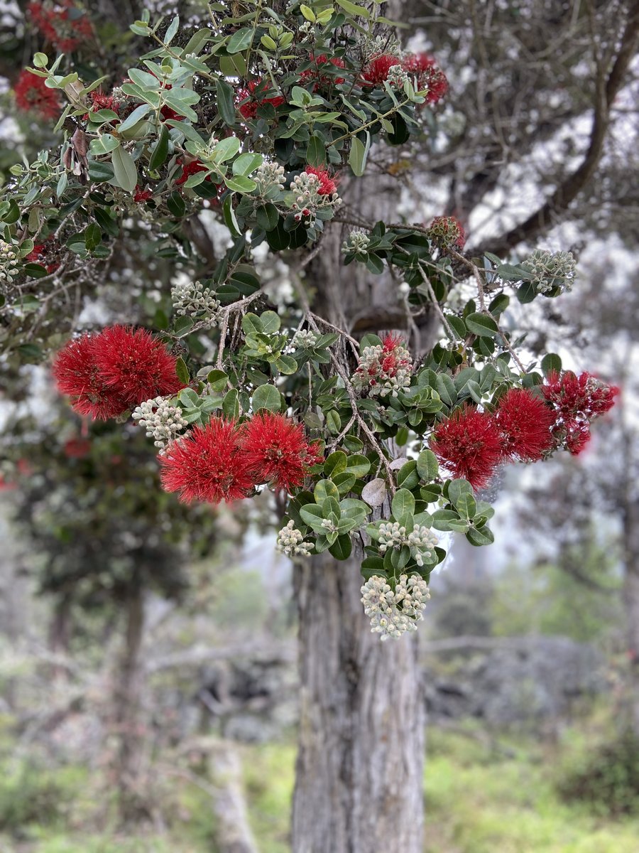
Volcano Village is unlike anywhere else in Hawaiʻi — or anywhere else on earth, for that matter. At 3,700–4,000 feet elevation, it sits at the edge of Hawaiʻi Volcanoes National Park, surrounded by native tree fern forest (ʻōhiʻa and hapuʻu), wrapped in frequent mist, and bathed in a cool, quiet atmosphere that feels completely removed from the tropical Hawaiʻi of the brochures.
The village itself is small — a few hundred permanent residents, a handful of restaurants and galleries, a general store, and a post office. It is definitively a community of people who chose to be there because of what it offers: proximity to one of the world's most active volcanic systems, access to the national park, an artistic and intellectual community, and a pace of life that simply doesn't exist anywhere closer to the coast.
Living Near the Volcano
Hawaiʻi Volcanoes National Park is steps from Volcano Village properties — residents have private, non-tourist access to the park's trails, steam vents, and lava viewing in ways that visitors simply don't experience. The park covers 335,000 acres and is a UNESCO World Heritage Site. For the right person, living adjacent to it is extraordinary.
Vog — volcanic smog generated by Kīlauea's ongoing eruption — is an occasional concern, particularly when trade winds shift. Residents learn to monitor vog conditions and manage accordingly. It is not a permanent or constant condition, but it is real and worth understanding before choosing to live here.
Home Prices and Practical Realities
Volcano Village homes are surprisingly varied — small rustic cottages, modern architectural builds, and B&B operations all coexist. Prices range from $300,000–$700,000+ depending on size and condition. Most properties use catchment water and propane for heating. The nearest significant services are in Hilo (30 minutes) or Kona (90+ minutes).